
Affiliate Disclosure: This post contains affiliate links. If you click and make a purchase, Lilly’s Corner may earn a small commission at no extra cost to you. We only recommend products we genuinely love. Thank you for supporting this blog!
Phone apps are great — until your battery dies or you lose signal three miles into the backcountry. Knowing how to read a physical trail map and use a compass isn’t old-fashioned, it’s a core safety skill every hiker should have as a backup. Here’s how to actually do it.
This pairs well with our Best Hiking Apps Every Hiker Should Have in 2026 — apps are a great primary tool, but this is your backup plan.
1. Understanding Topographic Lines
Contour lines on a topo map show elevation. Lines close together mean steep terrain; lines spaced far apart mean gentler slopes. Learning to read these at a glance tells you what kind of climb is ahead before you’re standing in front of it.
- National Geographic Trails Illustrated Topo Maps — durable, waterproof, and covers most major national parks and forests. 👉 View on Amazon
2. Orienting Your Map with a Compass
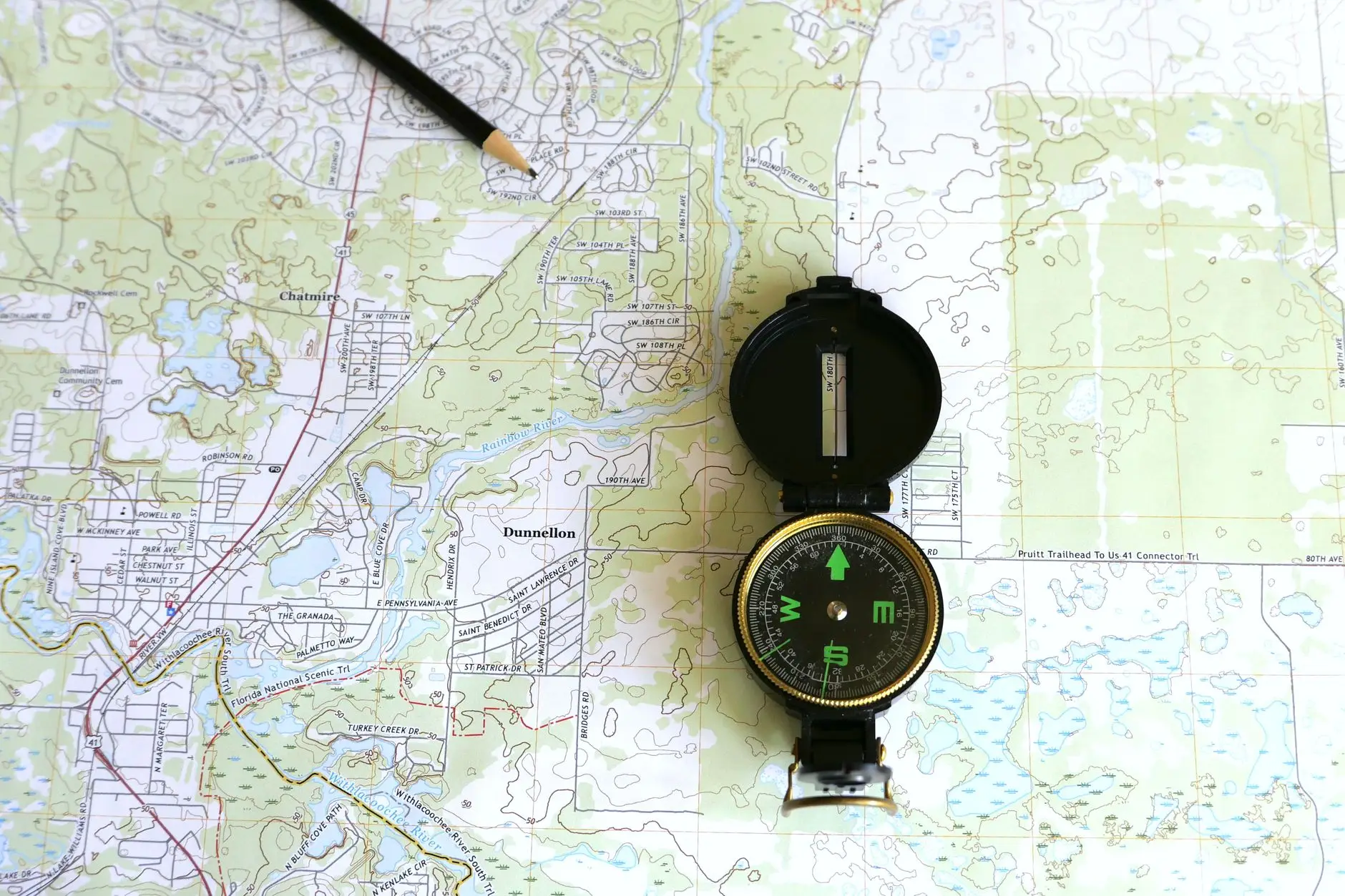
Lay your map flat, place the compass on top, and rotate both together until the compass needle aligns with north on the map. This single step — called orienting the map — makes everything else about navigation click into place.
- Suunto MC-2 Navigator Compass — a mirror sighting compass for precise bearings. 👉 View on Amazon
- Silva Ranger Compass — a reliable, beginner-friendly baseplate compass. 👉 View on Amazon
3. Taking a Bearing
To find your direction of travel: point the compass’s direction-of-travel arrow at your destination on the map, rotate the bezel until the orienting lines match the map’s north-south grid, then read the bearing where the arrow meets the dial. Follow that bearing in the field, and you’re on course.
- Rite in the Rain Waterproof Notebook — jot down bearings and landmarks as you go, even in wet weather. 👉 View on Amazon
4. Backup GPS Without Cell Service
GPS satellites work independently of cell towers, so a dedicated GPS device or satellite communicator still functions even miles from any signal.
- Garmin GPSMAP 66i — combines topo maps, GPS tracking, and satellite SOS in one device. 👉 View on Amazon
- Garmin inReach Mini 2 — smaller and lighter, focused on two-way satellite messaging and SOS. 👉 View on Amazon
5. Reading the Landscape
Beyond tools, learn to cross-reference what you see — ridgelines, water sources, distinctive rock formations — against your map. This habit, called terrain association, is often faster than constantly checking a compass bearing.
- Vortex Diamondback Binoculars — helpful for scouting distant landmarks to confirm your position. 👉 View on Amazon
6. Practice Before You Need It
Don’t wait until you’re lost to test these skills. Practice on a familiar trail first: pick a landmark, plot it on the map, take a bearing, and walk to it. It becomes second nature quickly.
- Map & Compass Navigation Field Guide (Book) — a compact reference to keep in your pack while you practice. 👉 View on Amazon
Once navigation feels second nature, you’ll hike with a lot more confidence — especially on longer trips. If you’re planning one soon, our How to Plan a Weekend Hiking Trip From Start to Finish guide is a great next read.
Leave a Reply